Survey App
Project Description
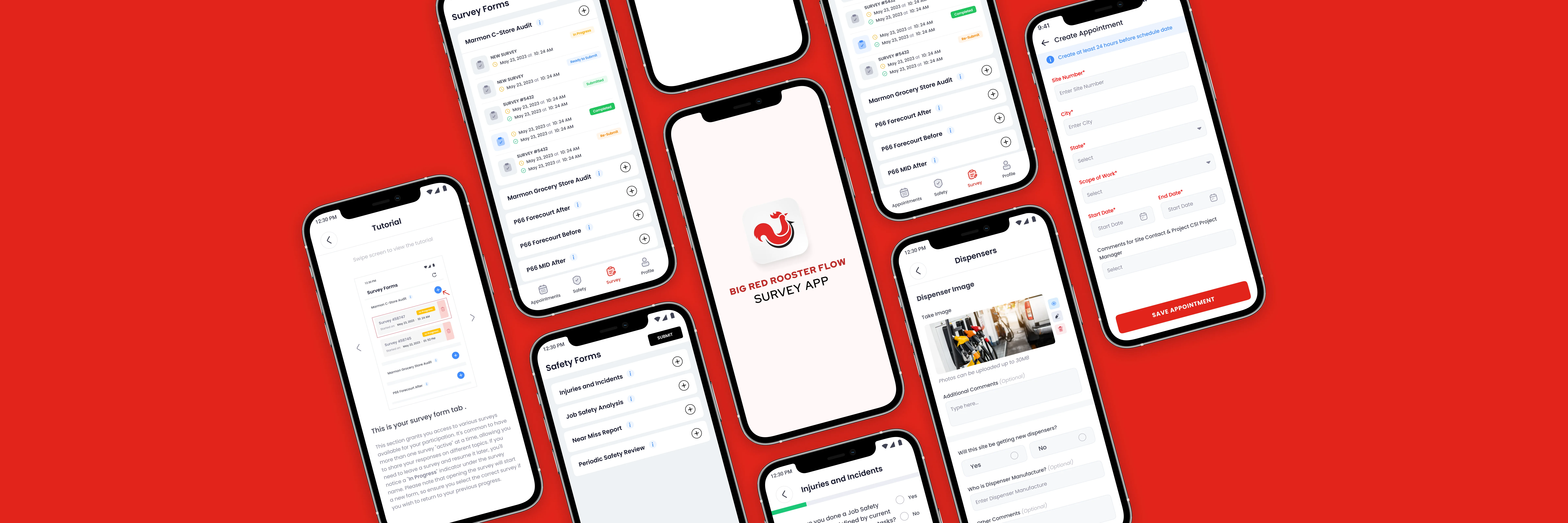
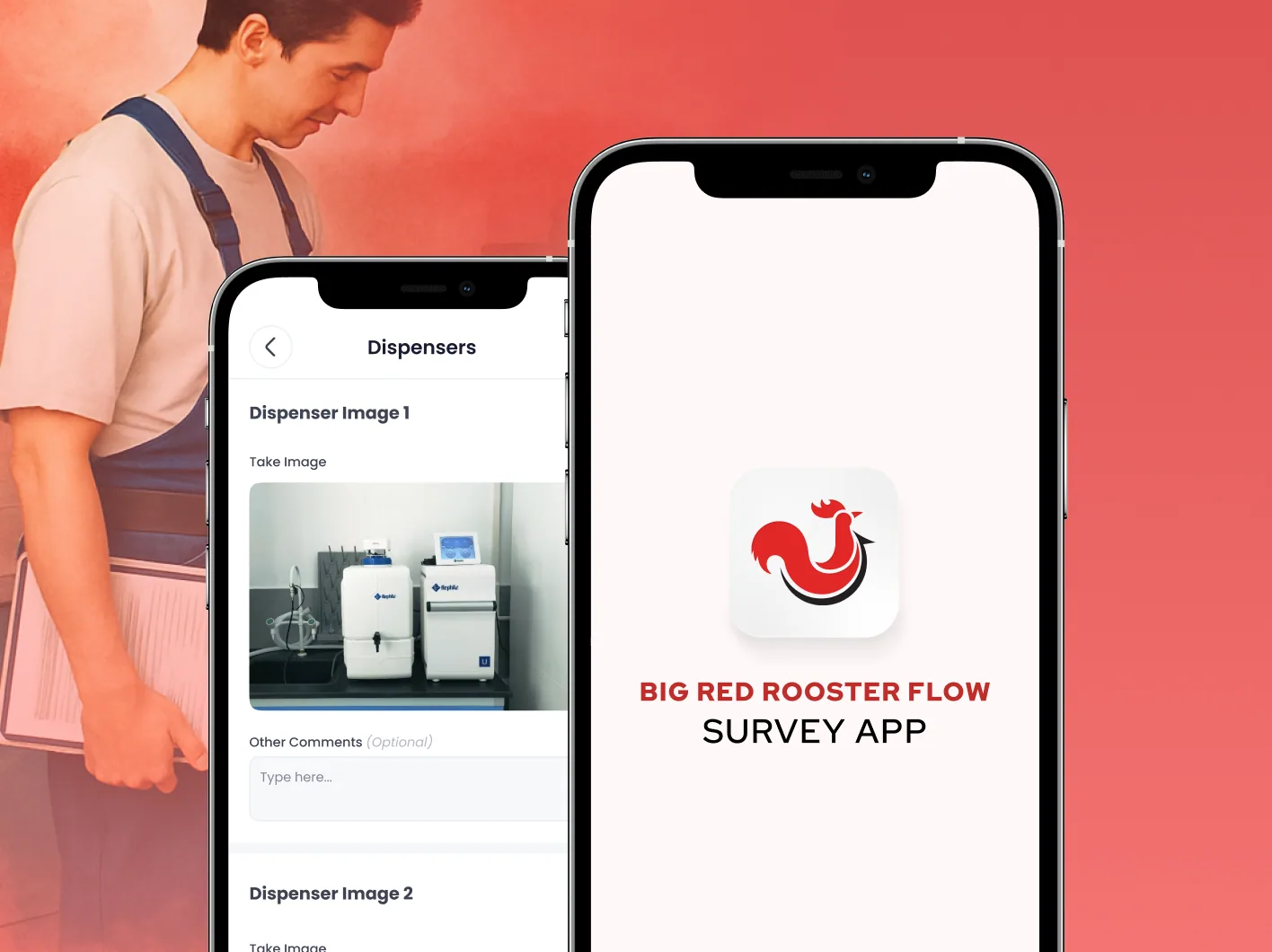
A geofenced mobile survey platform currently in development for Big Red Rooster Flow to run and track multi-site imaging projects from the field.

Problem
Multi-site imaging projects span dozens of locations, each with its own survey workflows and appointment dependencies, and field teams often work in areas with patchy connectivity. That makes accurate, on-location data capture hard to control and slow to review.
- Location accuracy: no reliable way to confirm surveys were completed at the correct site.
- Connectivity gaps: field teams lose data when working in offline or low-signal environments.
- Slow turnaround: delayed, batched submissions push back reviews and decisions.
Solution
We are building a cross-platform mobile app with geofencing, offline-first storage, and instant submission — paired with a web portal for survey configuration and review.
- Geofencing technology for location-verified, precision data collection and management.
- On-device storage that keeps survey data safe until submission, even fully offline.
- Instant data submission with editable, project-adaptable survey forms for timely review and decision-making.
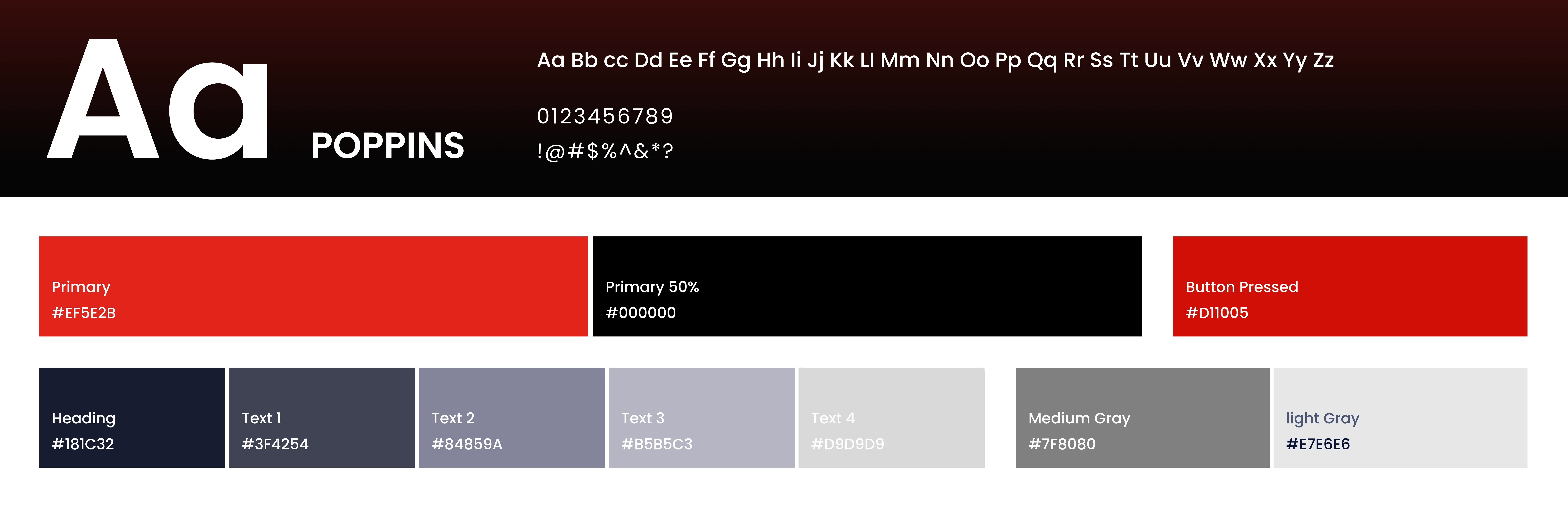
Style Guide & Components
The Result
The app is taking shape as a secure, offline-capable survey solution that brings geofenced precision and real-time insight to multi-site imaging projects. Currently in active development for iOS and Android.